
Site Yield Planner
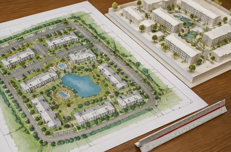
Enter your parcel size and a home type and watch the plan fill with streets, buildings, parking, open space and a pond.
The drawing is a planning sketch. Real counts depend on zoning, soils, slopes and design.
Saved. It will travel with your request below.
A rough planning drawing, not a survey or a design. Real projects are shaped by local zoning, utilities, soils and the market, and we confirm the plan after studying the site.
Three quick steps
- 1Set the acreageSlide to the size of your parcel.
- 2Pick the homesChoose apartments, townhomes, single-family homes or mixed-use.
- 3Read the planSee the drawing, the home count, parking and open space.
About the site yield planner
Is this my site?
No. It is a sketch for the size and the home type you choose. A real plan follows the shape of your land, the zoning and the utilities.
Why does the count change with open space?
More open space and trails leave less ground for buildings, so fewer homes fit.
Does it show approvals?
No. Zoning and design review decide what is allowed, so use the Entitlement Path Finder for the order of steps.
Services that go with this tool
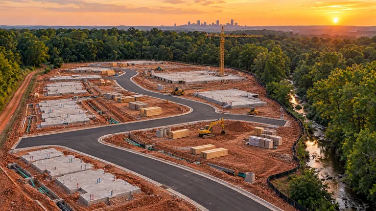
 Master Planning and Site LayoutArranging buildings, streets, parking and open space so a whole community works together.See the service
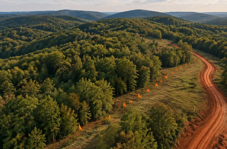 Land Acquisition and Site SelectionFinding, testing and securing the parcels where apartments and townhomes belong.See the service
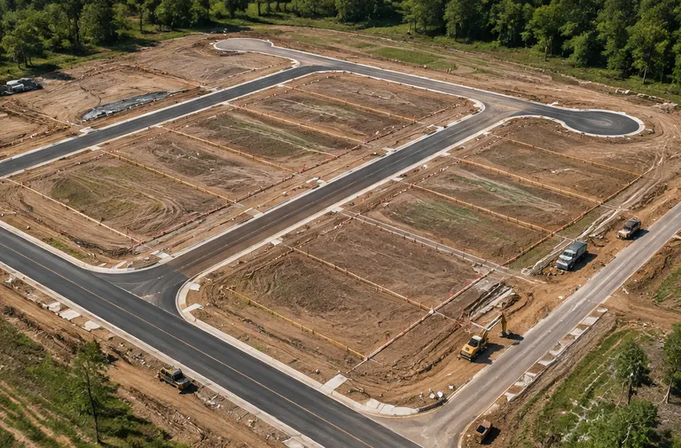 Subdivision Platting and Lot CreationTurning a large parcel into recorded lots, streets and easements that can be built and sold.See the service
Ready to start your project?
Call or text, or send the form. Tell us about the land and the homes you have in mind and we will tell you how we would approach it.